Hecomi Mapping
– Hecomi Archive –
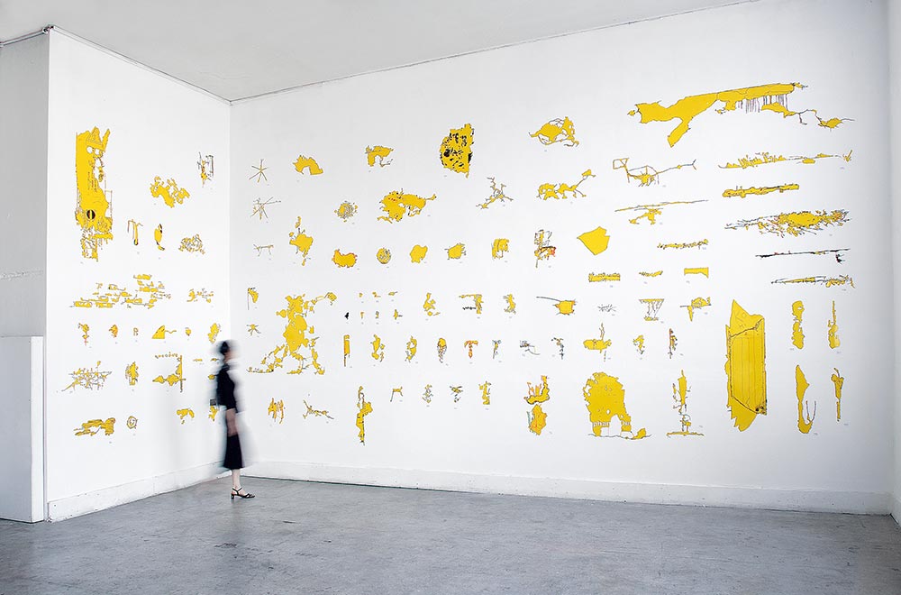
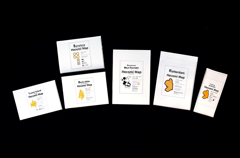
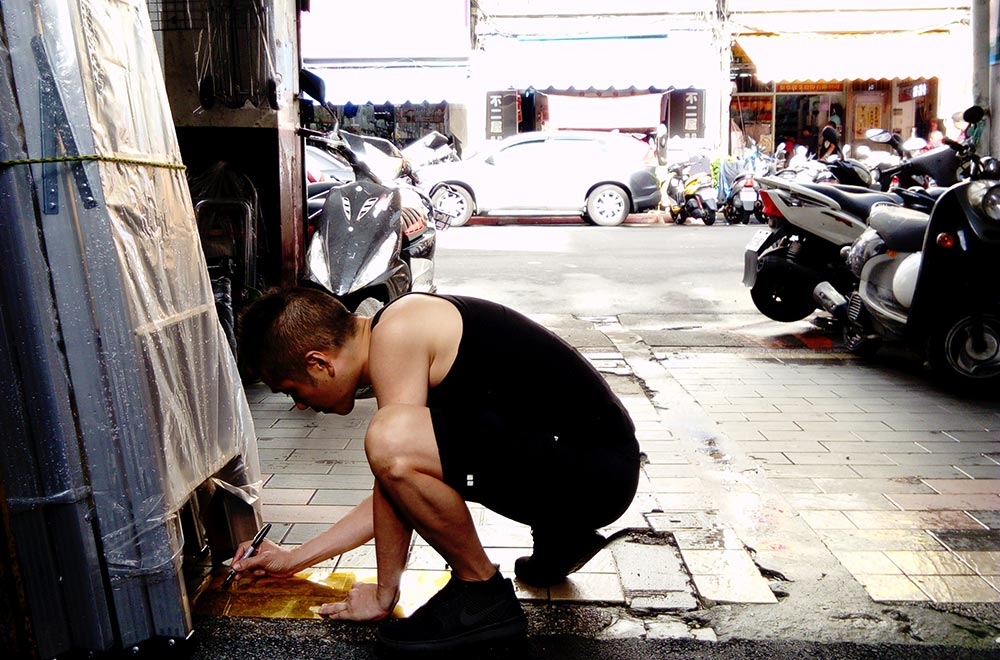
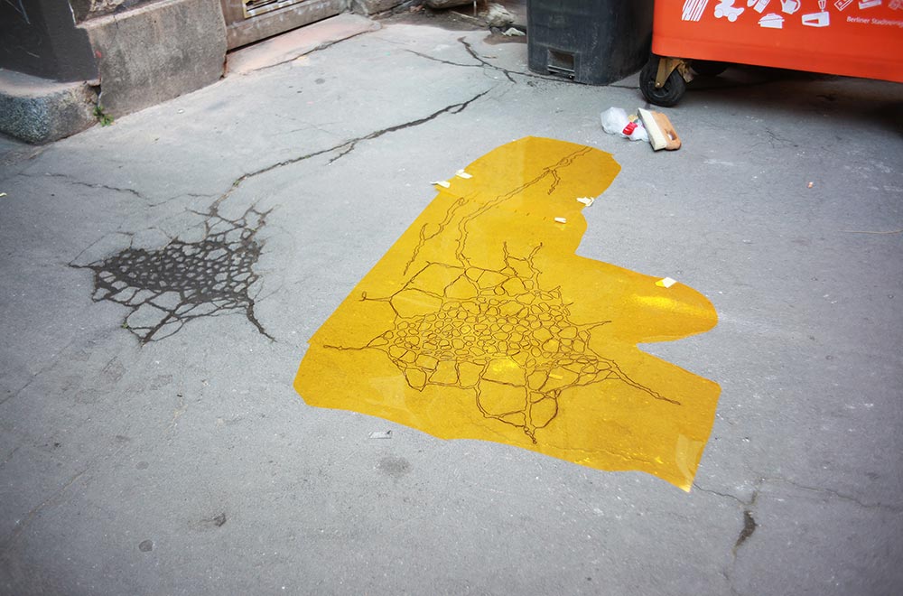
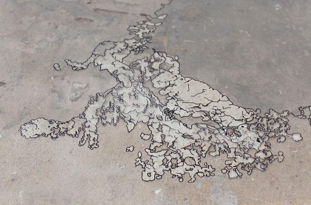
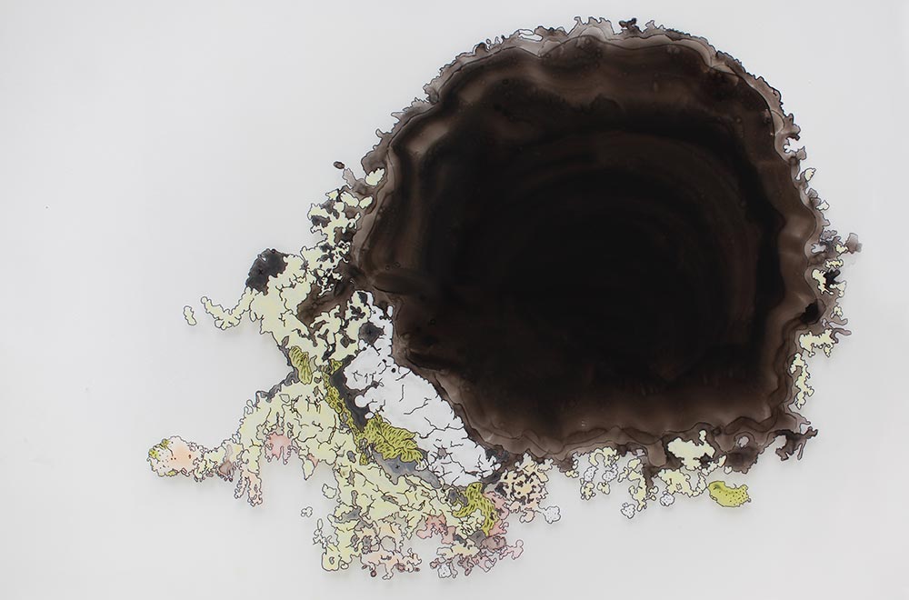
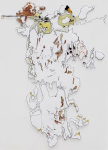
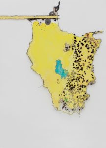
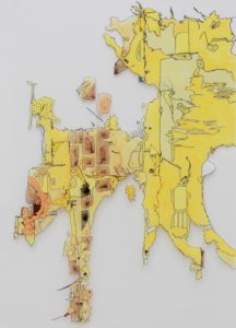
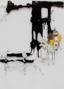
Between 2000 and 2020, I have collected roughly 400 shapes in 45 countries. Hecomi maps are records of those cracks gathered from certain cities and places or according to a certain approach / theme. By arranging them in the manner of a field guide, the uniqueness of each shape stands out. They possess the same functions like a map and one can read them as such. In addition, there are other maps such as Luxes’ Island Hecomi Map or Hamburg Altona Hecomi Map that were created by participants of workshops I hosted.
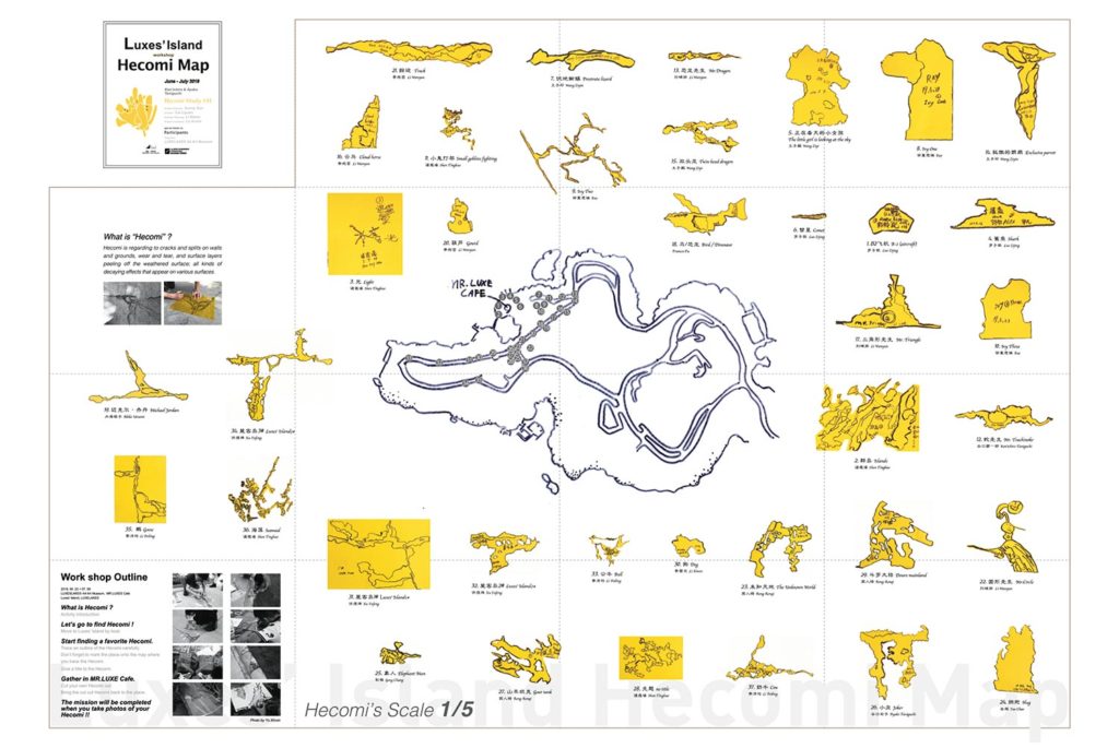
Luxes’ Island Hecomi Map
2019, 84 x 59 cm, Published by LUXELAKES・A4 Museum
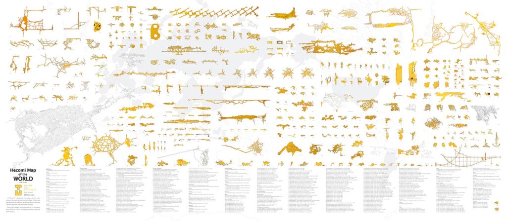
Hecomi Map of the WORLD
2015, 400 x 176 cm, Supported by Asahi Shimbun Foundation
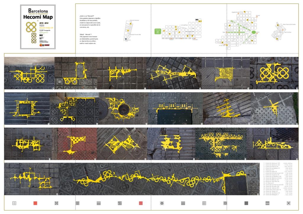
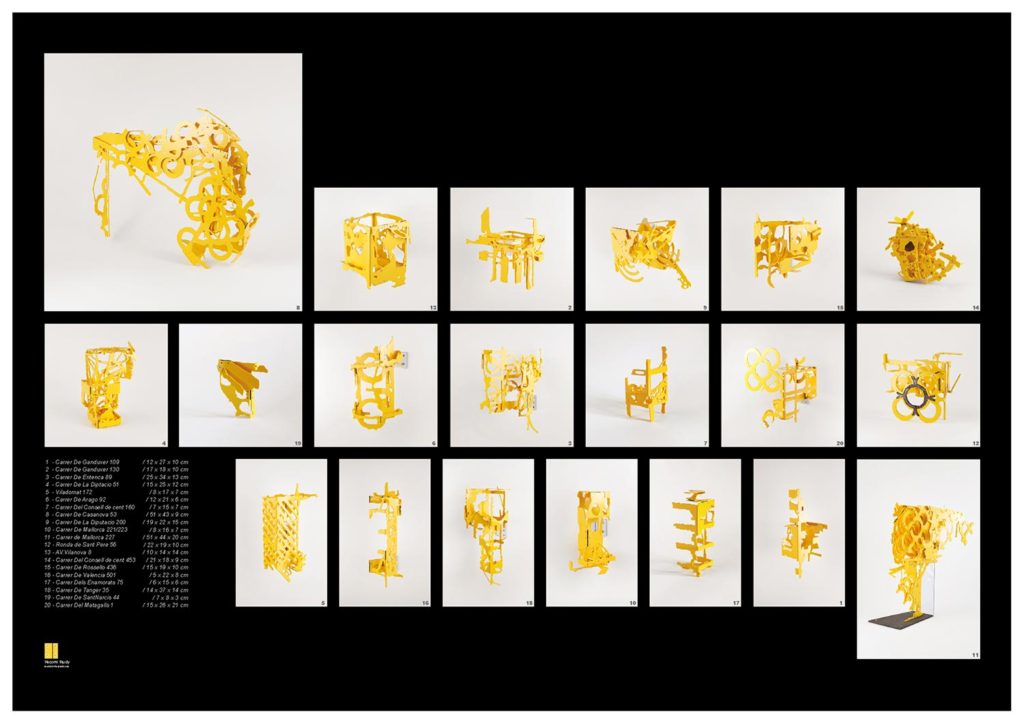
Barcelona Hecomi Map
Hecomis on the pavement, 2014, 84 x 59 cm, Supported by NOMURA Foundation, Asahi Shimbun Foundation
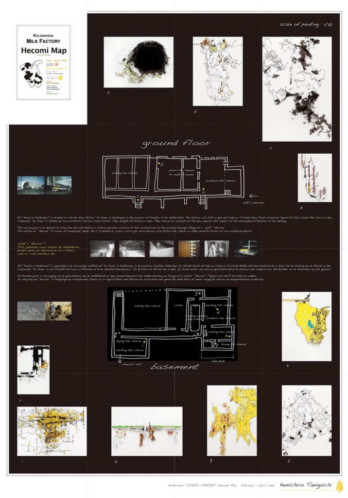
Kolderveen Milk Factory Hecomi Map
2010, 70 x 100 cm, Supported by Kik Foundation
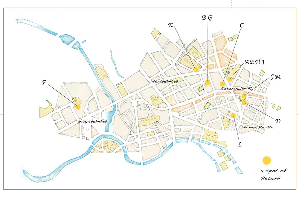
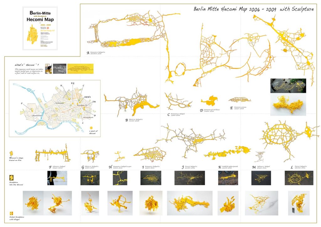
Berlin-Mitte Hecomi Map
2009, 84 x 59 cm
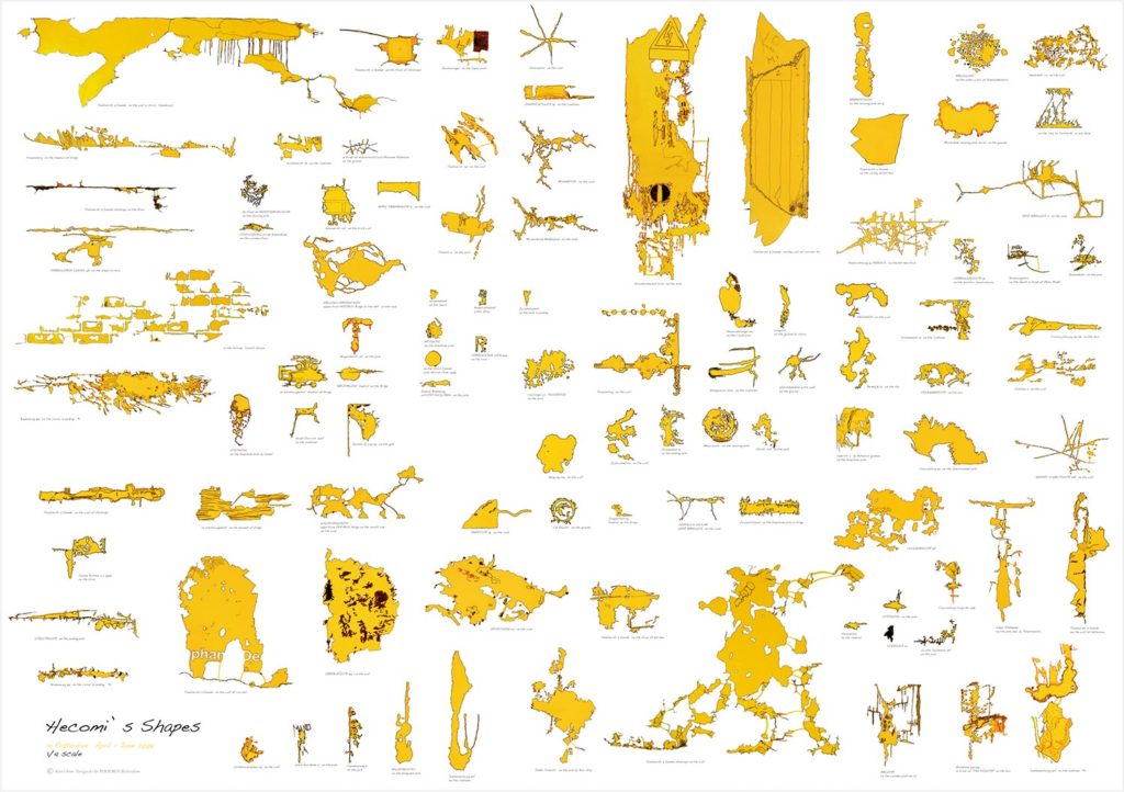
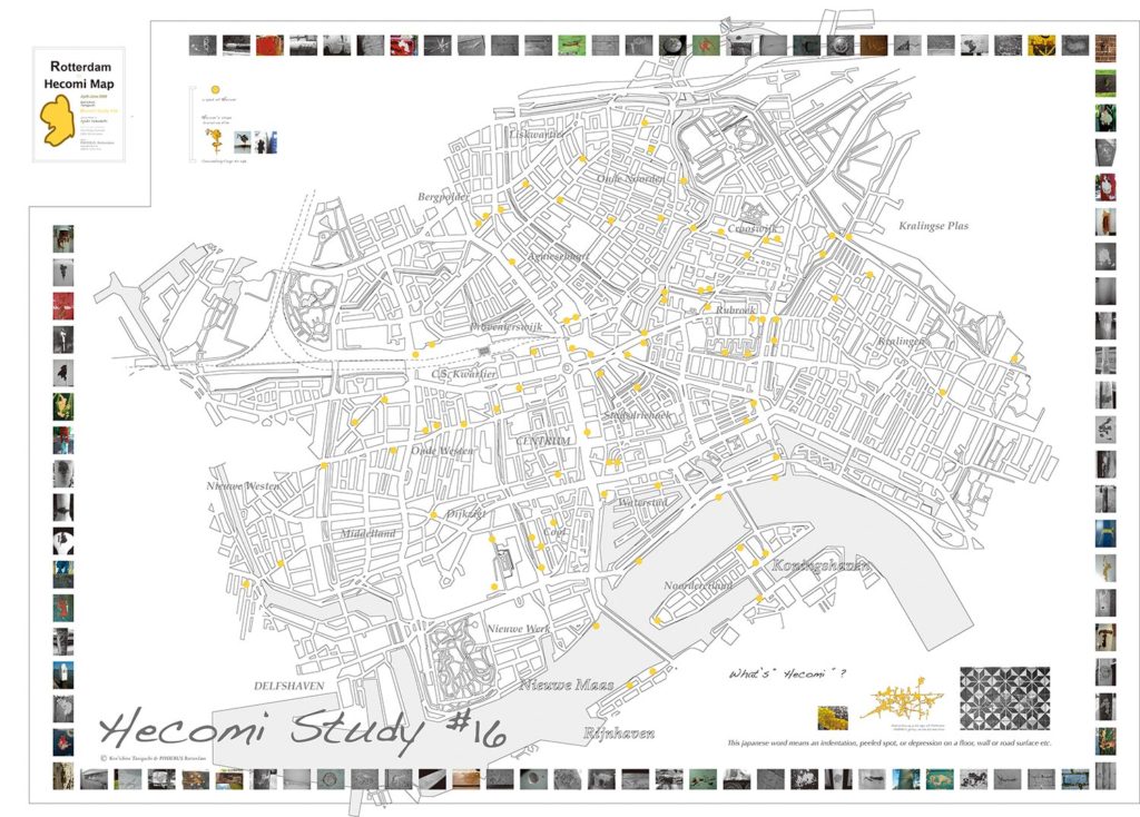
Rotterdam Hecomi Map
2009, 140 x 100 cm, Published by Galerie PHOEBUS, Collection Bijzondere Collecties (Amsterdam)
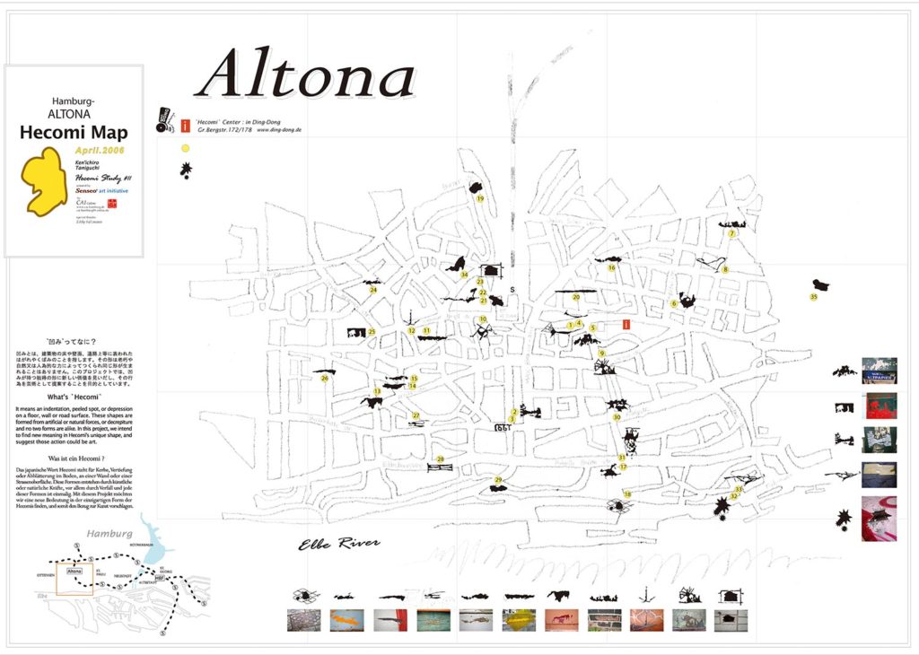
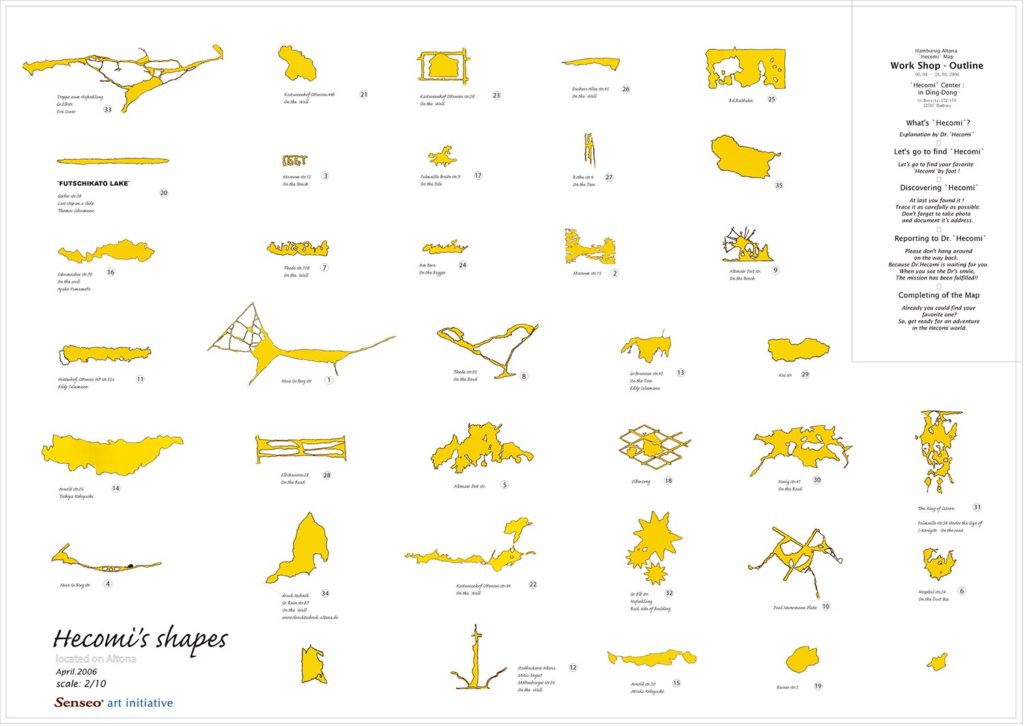
Hamburg Altona Hecomi Map
2006, 59 x 42 cm, Supported by Senseo
Luxes’ Island Hecomi Map
2019, 84 x 59 cm, Published by LUXELAKES・A4 Museum
Hecomi Map of the WORLD
2015, 400 x 150 cm, Supported by Asahi Shimbun Foundation
Barcelona Hecomi Map
Hecomis on the pavement, 2014, 84 x 59 cm, Supported by NOMURA Foundation, Asahi Shimbun Foundation
Kolderveen Milk Factory Hecomi Map
2010, 70 x 100 cm, Supported by Kik Foundation
Berlin-Mitte Hecomi Map
2009, 84 x 59 cm
Rotterdam Hecomi Map
2009, 140 x 100 cm, Published by Galerie PHOEBUS, Collection Bijzondere Collecties (Amsterdam)
Hamburg Altona Hecomi Map
2006, 59 x 42 cm, Supported by Senseo
